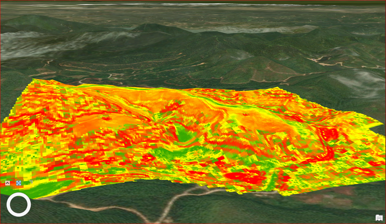
Stora Enso relies on sustainable forest and plantation management to ensure the long-term availability of wood, our most significant renewable raw material. Identifying each forest site’s particular characteristics such as soil, terrain and vegetation, is essential for long-term forestry planning. Now we are looking to find a solution for forest slope classification by creating a colour-coded digital map or drawing based on satellite or drones images.
Opportunity overview
Stora Enso manages 81,000 ha of forest land in Southern China, Guangxi region. Identifying the slope categories in these forest sites is crucial for safety forestry operations and feasible operational planning. Understanding the terrain and slope classes is important for increasing the efficiency of using correct methods for correct soil classes in the forest. Hence, Stora Enso is now looking for solutions that could generate slope categorization maps by interpreting existing drone or satellite images. This would allow the company to recognize steep slopes from a safety standpoint, as well as understand which machines to utilize and where.
Stora Enso is looking for solutions that can create pixel-based terrain maps instead of topographic contour maps, due to prevailing legislation. The goal is to find cutting-edge technologies that would first analyse and categorise the slopes and then expand the analysis further by using Artificial Intelligence to provide more optimized planning processes. The potential solution would analyse satellite, drone or LiDAR images. The potential solutions we are looking for could include but are not limited to, image recognition software, web platforms with data analysing capabilities and Artificial Intelligence. Do you have a solution for us?
Your opportunity with Stora Enso
Today, Stora Enso is one of the largest private forest owners in the world with forest assets valued at more than EUR 7 billion (land and biological assets) in 2020. Globally, Stora Enso owns or manages lands covering a total area of more than 2.0 million hectares. We are ultimately looking for a long-term outsource partner who wants to work with us to further develop digital mapping and platform solutions. We would like to work together and share our industry knowledge to provide you valuable information enabling your company further opportunities within the industry.
Examples we're looking for
Image recognition solutions
Image recognition software solutions that can interpret and analyse satellite/drone/liDAR images
Web platform solutions
A platform into which upload and process the drone photos with image data analysing capabilities
AI technology
Artificial Intelligence technology to identify and classify the images
Stora Enso
Part of the global bioeconomy, Stora Enso is a leading provider of renewable products in packaging, biomaterials, and wooden construction and one of the largest private forest owners in the world. We believe that everything that is made from fossil-based materials today can be made from a tree tomorrow.
Closed
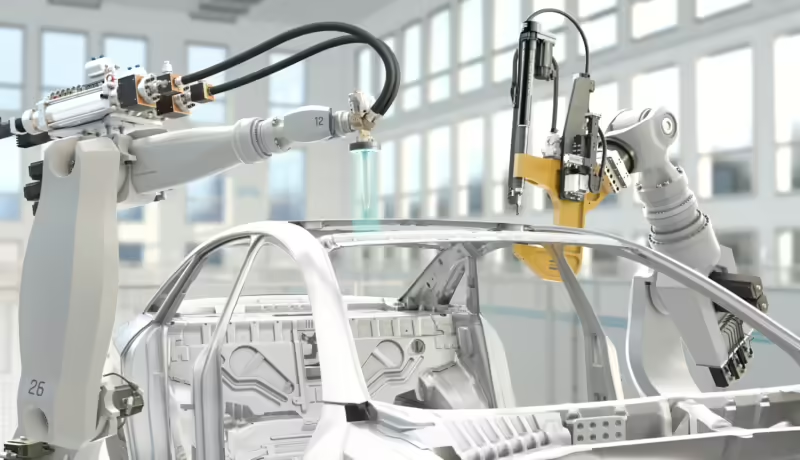
Sustainable Industrial Assembly Equipment with Atlas Copco
Atlas Copco’s Industrial Assembly Solutions division is a leading provider of joining and dispensing solutions for various vehicle painting and e-mobility applications. To address the growing importance of value-chain wide sustainability, we…
Learn moreClosed
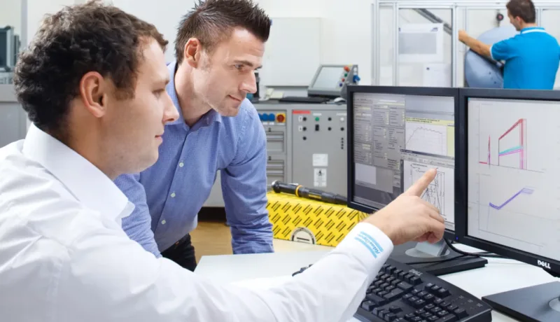
Automated Screw Handling with Atlas Copco
Atlas Copco is a leading manufacturer of industrial assembly equipment for automotive assembly workstations. One of our key product areas includes equipment used for handling, inserting and tightening screws into vehicle components.…
Learn moreClosed
Edge AI Solutions for Industrial Assembly with Atlas Copco
Atlas Copco’s Industrial Assembly Solutions division is a leading provider of joining and dispensing solutions for various vehicle painting and e-mobility applications. Some of our customers prefer not to share any data…
Learn more